
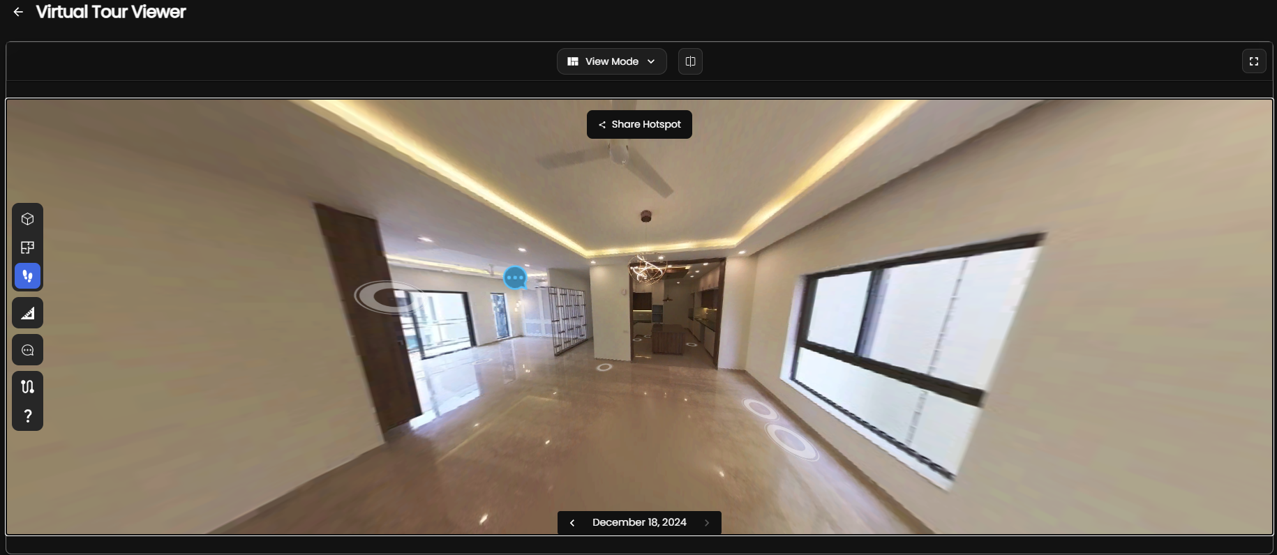
Choosing between a 360 camera and LiDAR for a construction survey starts with the decision the survey must support. A project team documenting visible conditions has different needs from a surveyor establishing geometry for design coordination. Both technologies can contribute to a useful digital record, but they capture different evidence and should not be treated as interchangeable.
What each technology captures
A 360 camera records imagery in nearly every viewing direction from each capture position. The result is useful for visual walkthroughs, remote reviews, issue discussions, and photographic documentation. When imagery is processed through a suitable reconstruction workflow, it may also contribute to spatial outputs. The quality of those outputs depends on image overlap, scene texture, lighting, calibration, scale information, and processing choices.
LiDAR actively measures ranges by emitting light and recording returns. The USGS LiDAR glossary provides useful terminology for understanding returns, point clouds, resolution, and related concepts. A LiDAR survey can provide direct geometric observations, but its suitability still depends on the sensor, setup, control, environment, and required deliverable.
360 camera and LiDAR comparison
| Decision factor | 360 camera workflow | LiDAR workflow |
|---|---|---|
| Primary evidence | Rich visual context and image-based records | Direct range observations represented as points |
| Typical use | Walkthroughs, progress records, remote review, visual coordination | Geometry capture, existing-condition surveys, dimensional analysis |
| Scene dependence | Benefits from stable lighting, overlap, and visible texture | Depends on line of sight, surface response, scan placement, and control |
| Review experience | Often intuitive for non-specialists because the source imagery remains visible | Often requires point-cloud or modeling software and a defined interpretation process |
| Quality control | Check coverage, blur, exposure, alignment, scale, and reconstruction artifacts | Check registration, control, coverage, noise, coordinate system, and completeness |
Start with the required deliverable
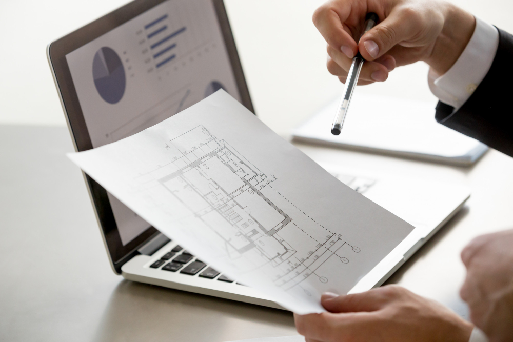
The fastest way to choose is to define what the receiving team needs. A photographic site record may only need navigable imagery, annotations, and consistent capture locations. Renovation design may require a registered point cloud or a modeled representation of selected building elements. Quantity checks, fabrication, or formal survey work may require a different level of control and professional responsibility.
- Visual documentation: prioritize readable imagery, complete walkthrough coverage, repeatable routes, and simple sharing.
- Existing-condition geometry: define coordinate requirements, tolerances, control, exclusions, and the elements that must be represented.
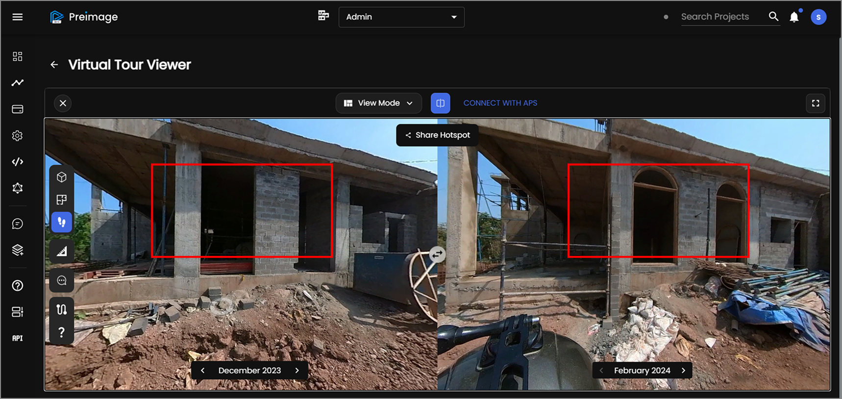
- Progress comparison: standardize capture timing, routes, naming, and alignment so observations can be compared meaningfully.
- Model production: specify which objects become BIM elements, what information they carry, and how uncertainty is documented.
When a 360 camera is a practical fit
A 360 camera is a strong candidate when the main goal is fast, understandable visual coverage. It can help project managers revisit conditions, give remote stakeholders context, document concealed work before closeout, and maintain a chronological record. Image-based reconstruction can extend that record when the capture plan supports it. Autodesk's overview of photogrammetry in construction explains how photographs can contribute to maps, models, measurements, and site documentation.
A camera-led workflow should not promise geometry simply because the viewer appears three-dimensional. Teams should verify whether scale, coordinate alignment, and model accuracy are adequate for the intended decision. If they are not, the imagery can still remain valuable as visual evidence.
When LiDAR is the better starting point
LiDAR is generally the stronger starting point when geometry is central to the deliverable. Examples include capturing complex existing conditions for design, supporting measured building documentation, recording structural or MEP layouts, and creating a point-cloud basis for modeling. The survey plan should still define control, registration, inaccessible areas, reflective or transparent surfaces, and the checks used before downstream teams rely on the data.
LiDAR does not remove the need for photographs or field notes. Point clouds can be difficult to interpret without color, labels, or contextual imagery. A complete handoff often combines geometry with photographs, metadata, and a record of assumptions.
When a hybrid workflow makes sense
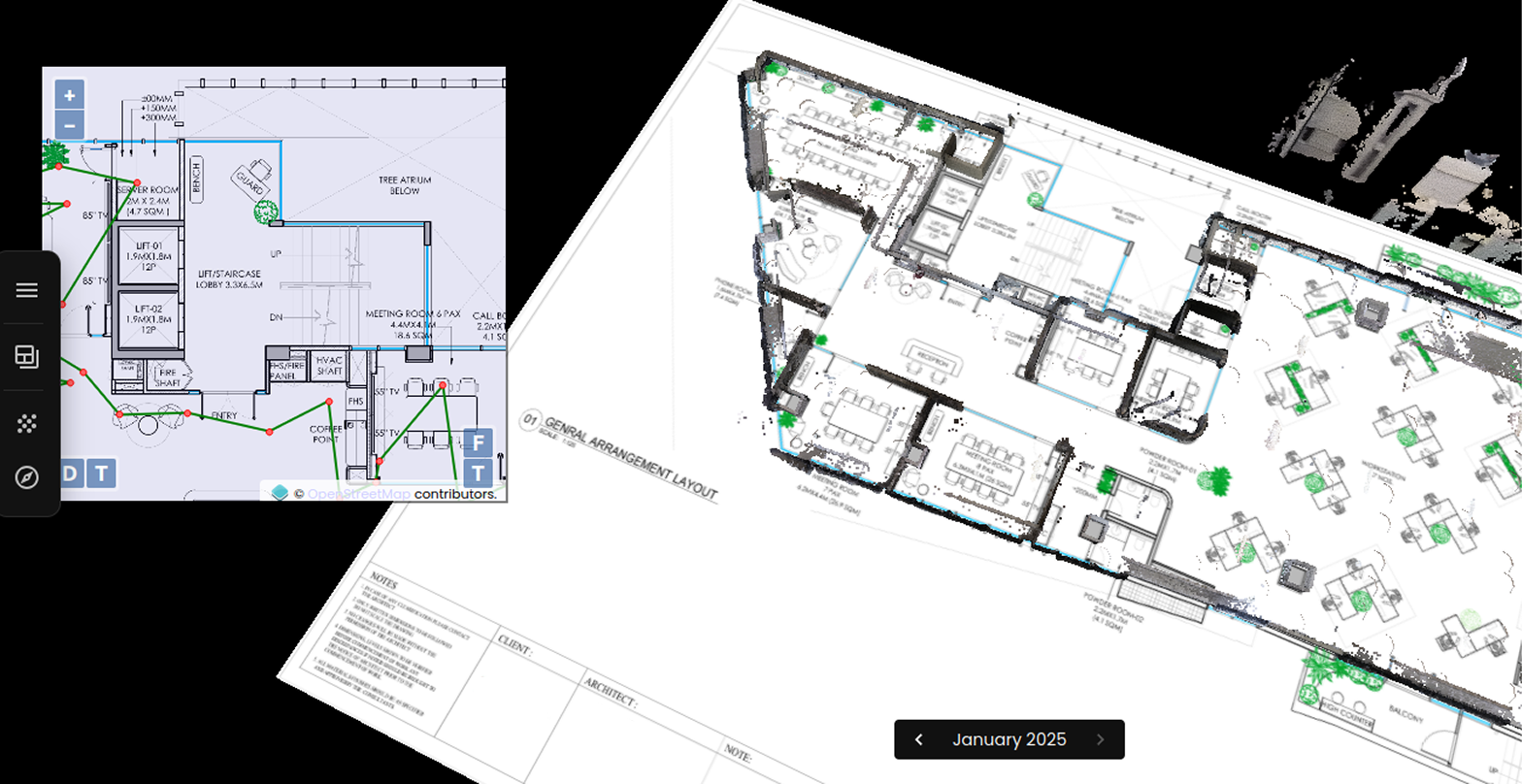
Many construction surveys benefit from combining the two. LiDAR can supply geometric structure while 360 imagery supplies visual context. The technologies may be captured separately or through an integrated system, but the team must still manage coordinate alignment and traceability. A hybrid workflow is useful only when each dataset has a defined role; collecting more data without a handoff plan can create confusion rather than confidence.
Plan the fieldwork before arriving onsite
- Define the decision: record who will use the survey and what they must decide from it.
- Specify outputs: list required imagery, point clouds, models, drawings, coordinate systems, and file formats.
- Map constraints: identify access restrictions, active work, changing lighting, moving equipment, reflective surfaces, and unsafe areas.
- Design coverage: plan routes or scan positions that reduce gaps and maintain sufficient overlap or line of sight.
- Establish verification: decide how registration, scale, completeness, and important dimensions will be checked independently.
Evaluate the full information workflow
The capture device is only one part of building digitization. Naming, metadata, coordinate management, semantic structure, versioning, and model handoff determine whether the record remains useful. NIST's building digitization and semantic interoperability work highlights the broader need to make building information understandable across systems and stakeholders.
Before selecting equipment, ask how field observations will become approved project information. Identify who reviews the data, who resolves conflicts, how revisions are tracked, and which source remains authoritative. These questions often reveal that a modest visual workflow is sufficient—or that controlled geometric capture is essential.
A practical way to choose
Choose a 360 camera when visual context, repeatability, and accessible remote review drive the requirement. Choose LiDAR when direct geometric observations and a controlled spatial deliverable drive it. Combine them when the project genuinely needs both context and geometry. In every case, validate the output against the intended use instead of relying on a technology label.
Preimage helps teams organize 360 capture, spatial processing, virtual review, and field-to-model workflows around a defined project need. To discuss whether a camera-led, LiDAR-led, or hybrid approach fits an upcoming survey, book a measured workflow review with Preimage.



.webp)