

A drone mapping to BIM workflow connects field imagery with an authored building or infrastructure model. The difficult part is not producing a visually appealing map. It is preserving coordinate context, quality evidence, scope decisions, and responsibility as data moves from flight planning through reconstruction and into BIM. A reliable workflow begins with the decision the model must support and works backward to the field capture.
1. Define the model requirement first
Before planning a flight, identify what the receiving team expects. A progress review may need current orthographic imagery and a navigable model. Existing-condition design may need a registered point cloud or mesh as a modeling reference. Earthwork, facade documentation, roof review, and site logistics each require different coverage and validation.
Write a short delivery specification covering the area of interest, coordinate reference, file formats, required visible features, exclusions, update frequency, and acceptance checks. If BIM authoring is included, define which objects will be modeled and what information they must contain. Avoid using a broad level-of-detail label without explaining the actual geometry and information required.
2. Plan the flight around evidence
The flight plan should provide consistent, overlapping imagery of the surfaces needed by the reconstruction. Consider altitude, viewing angle, obstructions, roof geometry, facade visibility, vegetation, shadows, reflective materials, moving equipment, and active construction. Follow applicable aviation requirements, site safety procedures, and access controls. Coordinate with the site team so temporary activity does not create avoidable gaps or inconsistent conditions.
Choose whether the project needs ground control, checkpoints, known dimensions, or another coordinate strategy. These choices should follow the intended use and professional requirements rather than a generic template. Keep verification observations separate where possible so they can test the result instead of influencing it.
3. Capture traceable field data
During capture, preserve original images and metadata. Use a clear naming structure for flight, date, area, and revision. Record weather, lighting, access limitations, excluded zones, control observations, and unusual site conditions. Review imagery before leaving the site for blur, exposure problems, missing coverage, and incomplete transitions between flight lines or elevations.
- Confirm the required area was captured without relying only on the planned route.
- Check difficult edges, vertical surfaces, narrow zones, and areas hidden by temporary works.
- Record any manual flight segments and why they were needed.
- Protect the unedited source imagery as the traceable field record.
4. Process imagery into spatial outputs
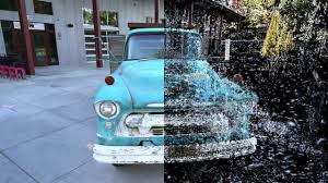
Photogrammetric processing identifies corresponding image features, estimates camera positions, and reconstructs spatial geometry. Depending on the project, outputs can include a point cloud, mesh, textured model, orthographic imagery, or elevation products. Autodesk's overview of photogrammetry in construction explains how image-based data can support mapping, documentation, measurements, and construction coordination.
Processing settings should follow the target deliverable. More data or denser output is not automatically better if the receiving software cannot manage it or the source imagery does not support the detail implied. Preserve processing reports, coordinate information, and the relationship between source imagery and exported products.
5. Review reconstruction quality
Inspect the output before it reaches BIM authors. Look for gaps, duplicated surfaces, noise, warped edges, misaligned components, vegetation artifacts, and weak reconstruction around reflective or low-texture areas. Review control and independent checkpoints according to the project's survey plan. Confirm coordinate orientation, units, extents, and elevation reference.
| Review area | Questions to answer |
|---|---|
| Coverage | Are all required surfaces present, and are excluded areas documented? |
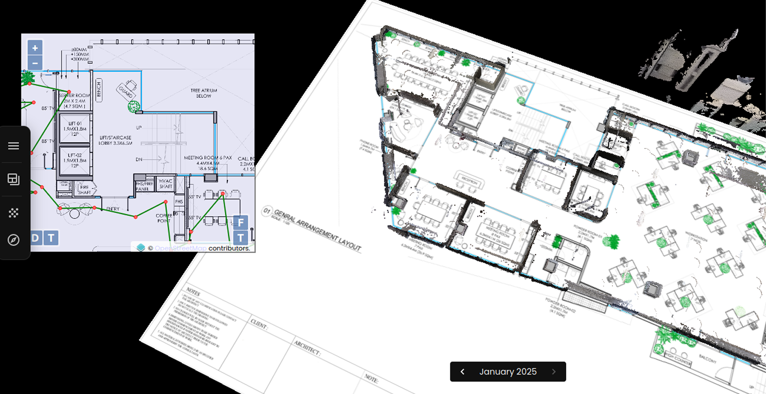
| Registration | Is the output in the intended coordinate frame with traceable transformations? |
| Geometry | Are important edges and surfaces coherent enough for the stated use? |
| Currency | Does the capture date match the construction state being reviewed? |
| Handoff | Can the receiving team open, navigate, and interpret the files? |
6. Prepare data for BIM authoring
Raw reconstruction usually needs preparation before it becomes a practical BIM reference. Crop irrelevant surroundings, divide large datasets into manageable zones, remove obvious artifacts without hiding real uncertainty, and establish an agreed project origin. Maintain an untouched source export alongside cleaned working files.
Decide whether the point cloud, mesh, or orthographic output will be linked directly into the authoring environment or converted through an intermediate format. Test a representative area first. Confirm units, coordinates, rotation, elevation, and model performance before distributing the entire dataset.
7. Author model elements with purpose
BIM authoring is an interpretation step. A reconstructed surface does not automatically know that it represents a roof, wall, slab, curb, duct, or temporary object. Modelers must apply project rules, resolve ambiguous observations, and avoid inventing concealed geometry. Record where objects are based on visible evidence, design information, assumptions, or separate measurements.
For progress workflows, it may be more useful to compare mapped conditions with selected design elements than to remodel the entire site. For existing-condition delivery, the scope may require defined structures and terrain. Match the authoring effort to the business decision and keep unresolved areas visible to reviewers.
8. Coordinate through the construction platform
The model and mapping outputs should enter a controlled review process with version names, dates, issue ownership, and links back to field evidence. Autodesk describes a Pix4D integration workflow that connects drone mapping outputs with construction collaboration. Regardless of the selected software, the important pattern is a traceable path from capture to review rather than disconnected file transfers.
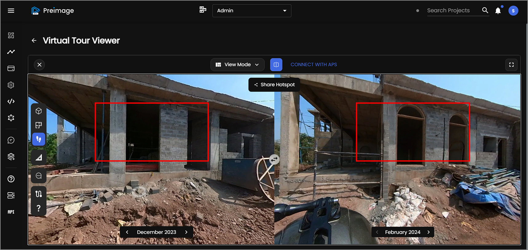
Use issues or review packages to record differences that require action. Do not treat every visible difference as an error: construction sequence, temporary works, design revisions, and incomplete scope can all explain change. A qualified project stakeholder should determine the meaning of each observation.
9. Preserve semantics and provenance
Spatial alignment alone does not create an interoperable BIM workflow. Teams also need consistent names, object meanings, identifiers, revision history, and relationships to project documents. NIST's building digitization and semantic interoperability program provides useful context for connecting digital building information across systems.
For every delivery, retain the capture date, source dataset, processing version, coordinate definition, model revision, authoring assumptions, quality checks, and known limitations. This provenance helps future teams understand what changed and whether an older dataset remains suitable.
Field-to-model checklist
- Define the decision, deliverables, coordinates, model scope, and acceptance checks.
- Plan safe image coverage and an appropriate control strategy.
- Capture traceable imagery, metadata, constraints, and verification observations.
- Process outputs without implying detail unsupported by the source data.
- Review coverage, registration, geometry, currency, and software compatibility.
- Prepare manageable reference files and test alignment before full handoff.
- Author only the required BIM elements and document uncertain or concealed conditions.
- Coordinate findings through a versioned, accountable review workflow.
Preimage helps teams connect drone and image capture with spatial processing, review, and BIM-ready handoffs. For a practical assessment of an upcoming field-to-model requirement, book a workflow discussion with Preimage.



.webp)